Network moving well · Planned evening work at Sela Rua · Beacon Market Details

A city made by water

About Veyra

A volcanic island city, three inhabited outer isles and one public network built around the sea between them.

18 March 1968Veyra Transit Authority was founded by Island Ordinance 12, uniting the municipal trams, harbor launches and ridge incline.

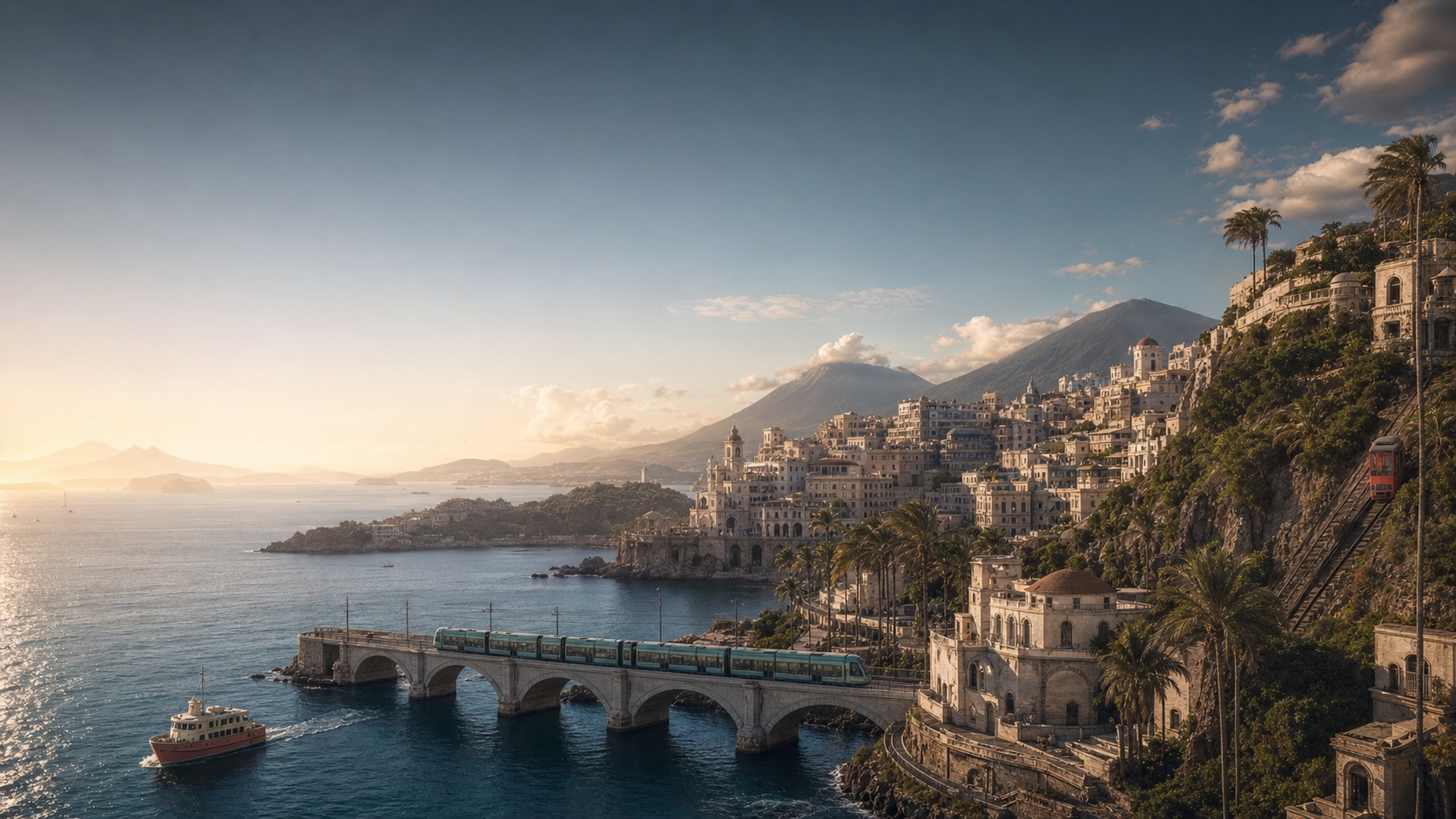
Morning light over Veyra's harbor, tram bridge, ferry and ridge funicular
East across Mara Sela · Inner SoundEarly summer, 06:14

The island city

Basalt beneath.
Salt in the air.

Veyra rises from the Inner Sound in two long volcanic shoulders. The old city occupies a crescent of pale stone between the harbor and Aro Ridge; newer neighborhoods follow the gentler eastern shore toward Aro Mara · Aerodrome.

Across the water, Northhaven and South Isle still keep their own market days, boat sheds and school calendars. Transit is what makes one city out of an archipelago: the morning ferry carries teachers inward, the afternoon tram carries students home, and the last funicular takes restaurant workers above the cloud garden.

Population
286,400
Land & isles
46 km² · 11 islands
Climate
Maritime subtropical
Typical range
18°C winter · 29°C summer

Two names, one place

Aruvai is how the islands sound.

Aruvai, Veyra’s local language, grew from harbor speech: short vowels for calling over wind, paired place words for describing land and water. Sola Vey means “the city’s meeting light”; its English transit name is Civic Square. We print both names, in the same order, on every sign, map and announcement.

“Name the place as its neighbors do. Then make sure every visitor can find it.”VTA bilingual naming standard, 1974

The public authority

One table for every mode.

The Veyra Transit Authority—Neya Aru Veyra—is an independent public body owned by the island municipality. A seven-member board meets in public; fares and major service changes require a recorded vote.

Our mark

The island current

The sand shape is Veyra’s sheltering coast. The coral route is a moving current; its single round stop says that every journey belongs to one connected network. The shape was redrawn in 2022 to remain clear on a 16-pixel screen and a ferry funnel alike.

01

Say what changed.

We name the line, station, time and practical alternative. “Operational reasons” is not passenger information.

02

Design for the hardest trip.

A network that works for a wheelchair user in rain works better for a parent, a suitcase and everyone else.

03

Keep the islands whole.

Late ferries protect access to work, school and care. Ridership alone never decides the last boat.

A moving history

From rope incline to quiet current.

  1. The ridge ropeway opens

    A counterweighted timber carriage carries quarry stone down Aro Ridge. Passenger benches are added three years later.

  2. Electric rails reach the harbor

    Veyra Municipal Tramways opens the shore route between Kava Doru · West Quay and the old aerodrome field.

  3. One authority is formed

    On 18 March, the city combines tram, municipal ferry and incline operations as Veyra Transit Authority.

  4. Outer-isle fares join the city

    A single transfer fare replaces separate ferry tickets. Evening departures become a protected public service.

  5. The fleet goes current-only

    The last combustion ferry retires. Shore power, regenerative trams and the rebuilt funicular make the network fully electric.

  6. Five lines, one daily rhythm

    Today’s two trams, two ferries and summit funicular carry an average 118,000 passenger journeys each weekday.

2025 in service

Public numbers,
plainly stated.

Our service year closes each 31 December. Figures include all scheduled passenger operations and are independently checked by the Island Comptroller.

Passenger journeys
38.6m
+4.8% year on year
Departures operated
99.2%
Across all five lines
Low-floor access
100%
All stations and vessels
Grid electricity
100%
Wind, tidal and geothermal