Vaerhal · About
The authority that runs the islands
Tolvaren Transit Authority, Tolvaren Vaerhal in Ondrish, is the public body that has run Tolvaren’s trams and ferries since 1934 and its metro since 1966. This is who we are, how the network came to be, and what we are for.
- 5linestwo metro, one tram, two ferry
- 30stations and quays27 step-free
- 6islands servedfrom the airport to Ysk
- 58 mjourneys in 2025about 160,000 a day
- 1,240staffcrews, engineers, station teams
- 1934founded14 March 1934
Tolvaren
Tolvaren is a city of 386,000 people on 6 islands in a cold, clear northern sea, 471,000 if you count the whole archipelago. It grew up around a deep natural harbour beneath the Kem, a basalt crag on the main island of Varenn, and for most of its history it lived on herring, salt and ships.
The climate is maritime: mild, wet winters, cool bright summers and a great deal of wind. September brings the mists that give Nevell and Nevhyr their names and the city its Day of Mists. The harbour has frozen twice in living memory. Everything here is built for weather, including the timetable.
The local language is Ondrish, spoken by almost everyone alongside English. Every station on the network carries its Ondrish name first and its English name second, and the authority speaks both, always in that order.
The islands
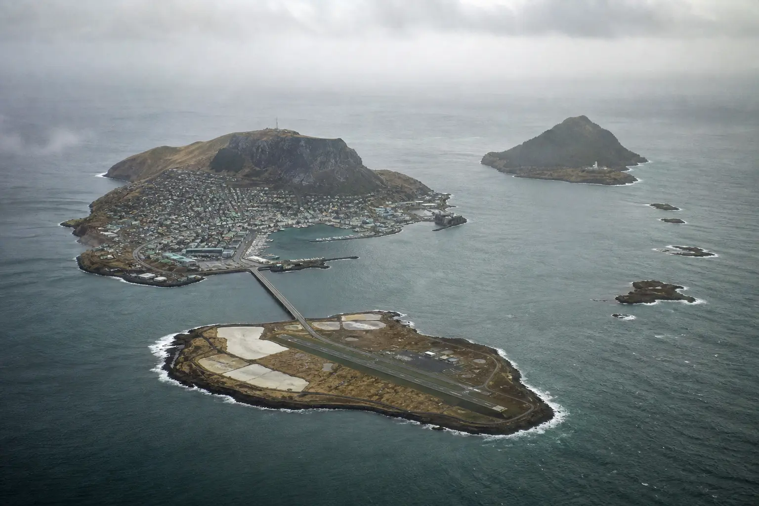
- Varenn The main island. The old town sits on the Kem, a basalt crag above the deep harbour that gave the city its reason to exist.
- Lom The low southern island: salt flats, the shipyards at Vervilann and the airport at its eastern end. Reached by the Sea Bridge and the M1 tunnel.
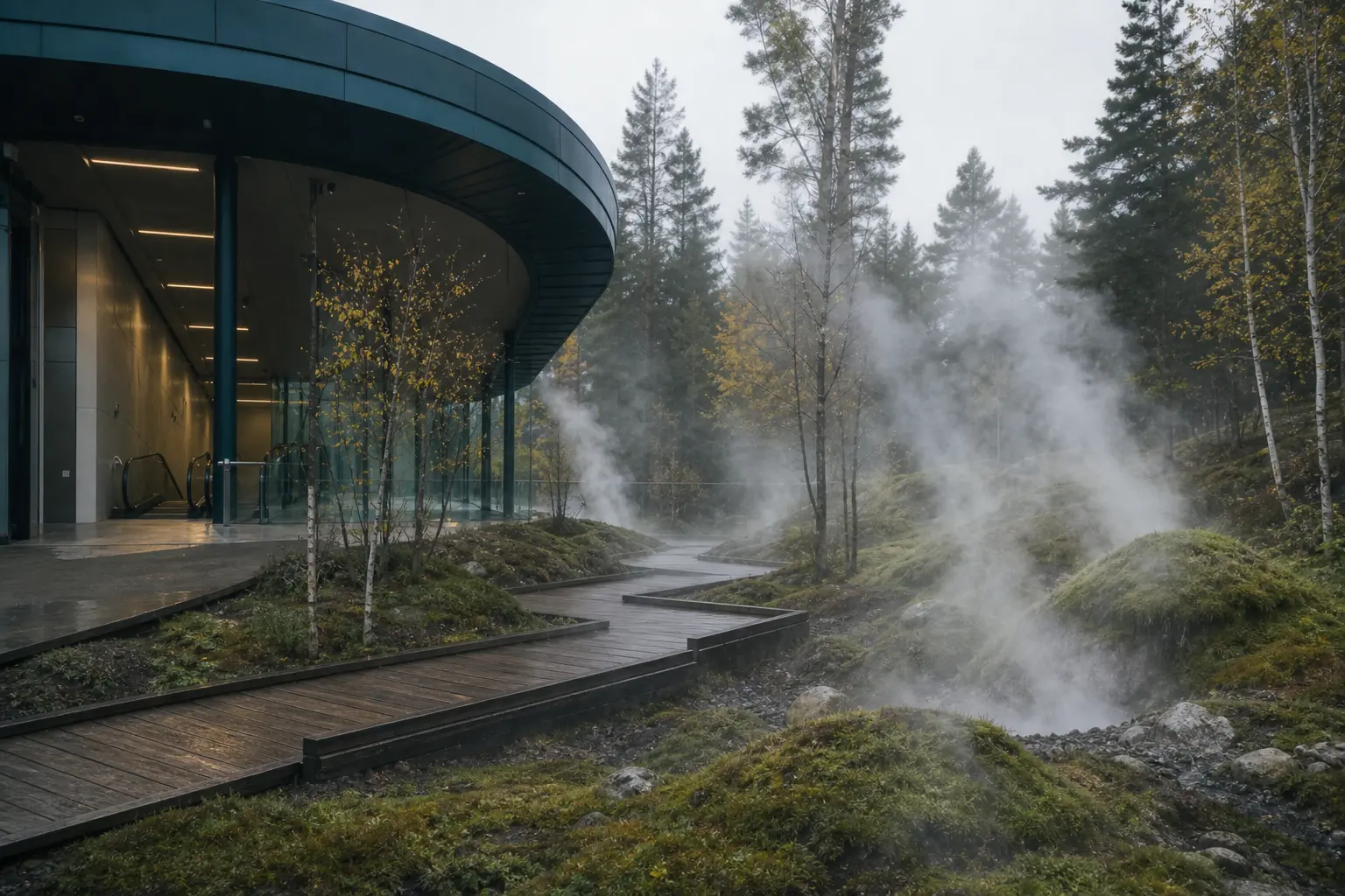
- Hesk The steep northern island. Forested slopes, the hot springs of Sirrvae and the great lighthouse at Iskspir.
- Skarra The nearest of the outer isles, a fishing harbour and a ring of summer houses.
- Mirre A small, flat isle of meadows and a single village around the pier.
- Ysk The outermost isle: a bird reserve, a weather station and about ninety people.
How the network grew
Every line on the map was built to solve a particular problem: a strait, a crag, a harbour with too many boats.
- 1887
The first steam ferryF2
The Ondra Steam Packet Company begins a twice-daily sailing from the Ferry Hall to Skarra. Before that, the isles were reached by whoever had a boat and the weather.
- 1904
Electric trams along the shoreT1
Tolvaren Tramways opens the waterfront line from Hyressa to the Ferry Hall. The route is almost exactly the western half of today’s Shore Line.
- 1934
The Tolvaren Vaerhal is created
On 14 March 1934 the City Assembly merges the tramway and three competing ferry companies into one public authority, with one fare and one timetable. The mark, the lighthouse above the wave, is adopted the same year.
- 1966
The first metroM1
After five years of tunnelling through the Kem, the Sea Line opens between Sea Gate and New Quay with five stations. Central Station is built above the old railway terminus.
- 1971 – 1984
Under both straitsM1
The Sea Line is extended north beneath the Hesknarr to North Harbour and Hot Hollow in 1971, south beneath the Lomnarr to Salt Shore and South Market in 1979, and on to the new airport in 1984.
- 1988
The Rock LineM2
The second metro line opens from Hill Gardens to Old Gardens through the deep station at Old Temple, 48 metres below the crag. It is extended to Cliff Point and Windy Point in 2003.
- 2009
The tram reaches Windy PointT1
The Shore Line is extended east from the Ferry Hall past the Customs House and the Fish Market to Mist Bay and Windy Point, closing the loop with both metro lines.
- 2019
Vaerkart
The smartcard replaces paper season tickets and brings pay-as-you-go with a daily cap. Seven in ten journeys are now made with a card.
- 2024
Three zones
Eleven historic fare stages become three zones, and the single ticket becomes valid for ninety minutes on every mode.
- 2026
Today
New timetables from 1 September, a lift programme that will make every metro station step-free by 2027, and a fleet of new trams arriving on the Shore Line.
How the authority works
The Vaerhal is owned by the city and answers to it. A board of nine sets policy: five members appointed by the City Assembly, one each by the island councils of Lom and Hesk, one by the outer isles together, and one elected by staff. The board meets in public on the second Tuesday of each month at the Vaerhal; anyone may attend, and the papers are on the noticeboard in the Ferry Hall a week ahead.
The Director General, Ilse Marrhyr, has run the authority since 2021. She joined as a ferry deckhand in 1998. The operating budget in 2025 was 212 million kel: 47 per cent from fares, 44 per cent from the city, and the rest from property, advertising and the airport concession.
What we are for
Our founding act from 1934 still describes the job in one sentence: to carry the people of the islands safely, cheaply and often, whatever the weather. We measure ourselves against it. In 2025, 96.1 per cent of metro and tram departures ran within two minutes of the timetable, and 91 per cent of ferry sailings ran as advertised; fog accounted for most of the rest.
How we speak
Plainly, in Ondrish and in English, with the Ondrish first. We say what is happening and what to do about it. We do not say “we apologise for any inconvenience”; we say sorry, and then we say when it will be fixed.
The fleet
- M1Sellinn · Sea Line
22 six-car trains, built 2014–2016. The deepest tunnels on the network, 41 metres beneath the Hesknarr.
- M2Kemlinn · Rock Line
14 four-car trains. Old Temple, at 48 metres, is the deepest station; its lifts take about a minute.
- T1Mellinn · Shore Line
24 low-floor trams, 33 metres long, being replaced by a new fleet through 2027. Level boarding at every stop.
- F1Korskael · Harbour Ferry
Three double-ended harbour ferries, Nevell, Isk and Vervi, each carrying 220 passengers and 40 bicycles.
- F2Ondraskael · Archipelago Ferry
Two sea-going ferries, Ysk and Mirre, with a covered car-free deck, a saloon and a small galley. A third, Skarra, is held in reserve.
The mark
The lighthouse at Iskspir stands above a single wave and three islands: Varenn, Lom and Hesk. It was drawn in 1934 by the tramway’s signwriter, Aud Kemmell, and has changed only in its colours since. The amber lamp is the same amber as the departure boards and the buttons on this site; it means “here is the way”.
You will find it on every vehicle, every stop, every ticket and the front of the Vaerhal. If you see it, you are somewhere we can take you from.
A little Ondrish
Almost every station name on the network is made from a handful of Ondrish words. Once you know that hyr is a hill, mell is a shore and lann is a quay, the map starts to read itself: Heltmellis the salt shore, Nyrlann the new quay, Iskspir the point with the light.
The authority’s own name, Vaerhal, is simply “travel house”. The tagline on the front of this site, Hael ondra, ain linn, means “Every island, one network”.
A few words you will hear on board: Nesta stanne, next station. Ut hael, all change. Vaer god, safe travels.
Ondrish words in station and line names
- aska
- market
- brakk
- cliff
- brev
- notice, letter
- dag
- day
- ell
- bay
- enkel
- single
- essa
- meadow
- hal
- hall, house
- helt
- salt
- hesk
- north
- hyr
- hill
- isk
- light
- kart
- ticket, card
- kem
- rock, crag
- kor
- harbour
- lann
- quay, landing; also platform
- lesra
- university
- linn
- line
- lom
- south
- maur
- marsh
- mell
- shore
- moit
- customs, toll
- narr
- strait, narrows
- nev
- mist
- nyr
- new
- ondr / ondra
- island / islands
- ordra
- centre, middle
- orra
- gardens
- pell
- gate
- roan
- fish
- rond
- square
- saan
- temple
- sammer
- assembly
- sel
- sea
- sirr
- hot
- skael
- ferry
- spir
- point, headland
- stanne
- station
- sveth
- flight
- svar
- answer, reply
- tal
- bridge
- tirr
- wood, forest
- vae
- hollow, valley
- vaer
- travel, journey
- vel
- old
- vervi
- shipyard
- yl
- wind
Working with the authority
Careers
We employ 1,240 people across 3 modes of transport, in the control room, the depots and the ticket offices. Vacancies are posted at the Vaerhal and at Central Station, and every role is open to Ondrish and English speakers alike. Write to jobs@tta.tol.
Press
Journalists can reach the press office at press@tta.tol or on 019 440 1940, Monday to Friday 08:00–18:00, and through the control room outside those hours. Our mark and photographs of the network are free to use with a credit.
Visit
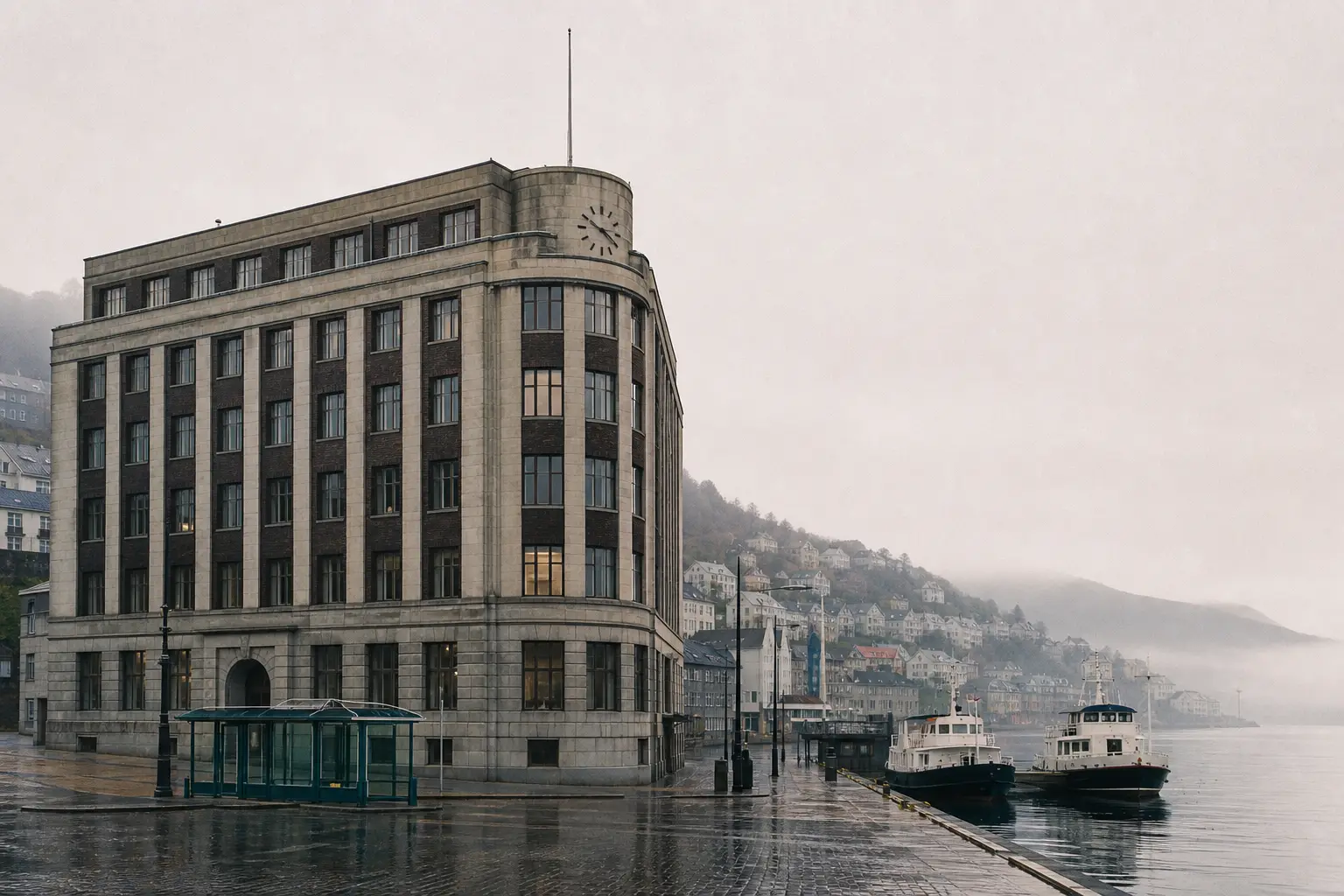
The Vaerhal at 2 Moithal Lann is two minutes’ walk from Moithal / Customs House on the Shore Line. The reception, the archive and the small museum of the network are open Monday to Friday, 08:30–17:00. Directions and contact details.